
Rio Grande River Langtry to Del Rio Texas: Where the Pecos, Devils River and Amistad Meet the Rio Grande
There are names from the American West that seem larger than the places themselves.
Pecos. Langtry. Rio Grande.
I knew those names long before I ever laid eyes on much of this country. Growing up on cattle ranches in the Kansas Flint Hills, they belonged to that vast western geography of cowboys, cavalry posts, ranches, Judge Roy Bean, distant rivers and country where a man had better know how much water he had before setting out.
Now, following the Rio Grande River downstream, we have reached a particularly fascinating piece of that old map.
We ended our last chapter at Langtry, Texas, after following the river east from El Paso through Presidio and the magnificent canyon country of Big Bend. From Langtry, the Rio Grande continues downstream toward Del Rio, but before it gets there something remarkable happens.
The Pecos River joins it.
Then the combined waters enter one of the great reservoirs of the American Southwest.
Lake Amistad.
And farther downstream another extraordinary Texas river, the spring-fed Devils River, enters Amistad from the north.
For an old bass fisherman, that gets my attention.
I spent many years guiding and tournament fishing Texas reservoirs, and I have always had a particular fondness for lakes where clear water, rock, deep structure and big bass come together. Amistad has all four.
At conservation pool, this is a sprawling international reservoir of about 65,000 surface acres, more than 850 miles of shoreline, and arms extending approximately 78 miles up the Rio Grande, 14 miles up the Pecos and 25 miles up the Devils River. (National Park Service)
But Amistad in 2026 is also a lesson in just how dramatically a desert reservoir can change.
We'll get to that.
First, let's leave Langtry and follow the river.
Leaving Langtry With the Rio Grande River
Langtry sits above the Rio Grande in country that still looks and feels like West Texas.
This is limestone country.
Cactus country.
Ranch country.
Sky country.
The vegetation is sparse enough that you can see the bones of the landscape.
The Rio Grande itself lies below the surrounding plateau, cutting through limestone as it works eastward.
When Paulette and I lived high in the mountains at Angel Fire, I could look across the Moreno Valley and see Wheeler Peak rising to the west. Everything about that landscape announced elevation, snow and mountain water.
Out here the relationship with water is entirely different.
Water hides.
It runs at the bottom of canyons.
It emerges from springs.
It disappears underground.
And when you finally find a great body of clear blue water surrounded by this dry limestone landscape, the contrast is almost startling.
That is Amistad.
But first comes another river.
Where the Pecos River Meets the Rio Grande
A short distance downstream from Langtry, the Pecos River reaches the Rio Grande.
This is one of the major tributary junctions in the entire river system.
The Pecos begins far to the north in the Sangre de Cristo Mountains of New Mexico, in country Paulette and I know well. It begins as cold mountain water, tumbles through the Pecos Wilderness and northern New Mexico, crosses onto the plains, enters Texas and then travels hundreds of miles before finally reaching the Rio Grande here.
Readers wanting to see just how different that same river looks near its beginning can visit my Pecos River Cowles Ponds trout fishing public access article. There the Pecos is surrounded by conifers and mountain meadows. Down here it arrives through limestone desert. (Rio Grande River)
That transformation fascinates me.
A river has a childhood too.
The Pecos River High Bridge
U.S. Highway 90 crosses the Pecos on one of the most impressive highway bridges in Texas.
The view down into the canyon is enough to make a photographer start looking for somewhere safe to pull over.
I have always enjoyed bridges, probably because of my flying background. Both give us perspectives on landscapes that people on the ground didn't ordinarily have for most of human history.
From high above the Pecos, you can see how thoroughly water has carved this limestone country.
And downstream, the Pecos disappears into Amistad.
Following the Pecos Back to Its Mountain Beginning
The Pecos also gives us several natural internal connections within the Rio Grande River website.
My article on Rio Pecos Terrero Bridge trout fly fishing shows the river in its northern New Mexico character, while Pecos River Upper Dalton public fishing access follows another beautiful stretch of that upper watershed. (Rio Grande River)
That is one of the pleasures of building this Rio Grande series.
Eventually the tributaries we explored hundreds of miles upstream begin coming home.
Amistad Reservoir: Three Rivers Become One Great Lake
Lake Amistad was created by Amistad Dam, completed in 1969 on the Rio Grande.
It is an international reservoir shared by the United States and Mexico and managed by the International Boundary and Water Commission for water storage, flood control and hydroelectric generation.
At its conservation-pool elevation of 1,117 feet above mean sea level, Amistad contains roughly 65,000 surface acres and more than 3.1 million acre-feet of water. The lake has approximately 851 miles of shoreline, with 547 miles in the United States and 304 miles in Mexico. (National Park Service)
That is a lot of shoreline for a bass fisherman to contemplate.
The major rivers feeding Amistad are:
Rio Grande
Pecos River
Devils River
There are also smaller creeks, draws, springs and intermittent drainages.
My broader article on the primary water sources for the Rio Grande River watershed explains how snowmelt, tributaries, groundwater, rainfall and reservoir releases combine to create the river we are following. (Rio Grande River)
Here at Amistad, that hydrological story is written right across the lake.
Lake Amistad Water Levels in 2026
Anyone planning an Amistad fishing trip needs to understand one thing before anything else:
This reservoir fluctuates tremendously.
That has always been true, but it is particularly important now.
The conservation-pool elevation is 1,117 feet. In February 2026, TPWD fishing reports had Amistad roughly 65 feet below conservation pool. (Texas Parks & Wildlife Department)
Then summer inflows improved matters somewhat. Texas Water Development Board data showed the lake at about 1,056.85 feet on July 30, 2026, roughly 60 feet below conservation pool, with about 20,900 surface acres of water. (Water Data for Texas)
That means today's Amistad looks very different from full-pool Amistad.
Old shorelines are exposed.
Some ramps are unusable.
Formerly submerged structure is dry.
Points extend farther.
Channels become more important.
And navigation requires considerably more attention.
The National Park Service emphasizes that ramp status can change quickly as the lake rises or falls. (National Park Service)
For a fisherman, low water is not necessarily bad fishing.
But it is different fishing.
The Clear Water of Amistad
One of Amistad's great characteristics has traditionally been its water clarity.
Texas Parks and Wildlife describes normal clarity as clear to slightly stained. (Texas Parks & Wildlife Department)
The Devils River contributes famously clear spring water.
Limestone geology also influences the lake's character.
That clarity changes how I fish.
In clear water, bass see farther.
So do fishermen.
Unfortunately, those two facts tend to cancel one another.
I generally make longer casts, use natural colors, pay closer attention to line diameter and avoid unnecessarily noisy approaches when fish are shallow.
Cloud cover and wind become friends.
Aquatic Vegetation and Hydrilla
Amistad became famous during its glory years for tremendous beds of hydrilla.
TPWD reported about 1,000 acres of aquatic vegetation in a 1999 survey, primarily hydrilla. But vegetation coverage is heavily dependent upon water levels. (Texas Parks & Wildlife Department)
During the 2020 survey period, aquatic vegetation occurrence was only about 9 percent, compared with 17 to 36 percent during earlier periods. (Texas Parks & Wildlife Department)
That is an important distinction for anyone who remembers the old Amistad fishing stories.
At higher levels, flooded brush and expanding hydrilla can create enormous shallow-water habitat.
At very low levels, much of that habitat disappears.
So today's fisherman has to fish today's lake, not the Amistad he remembers from a magazine article twenty years ago.
That is good advice on any reservoir.
Fish Species in Lake Amistad
Texas Parks and Wildlife lists the predominant sport species as:
-
Largemouth bass
-
Smallmouth bass
-
Channel, blue and flathead catfish
-
White bass
-
Striped bass
Gizzard shad and sunfish provide an important forage base. White crappie are also present, although TPWD surveys have found them in comparatively low abundance. (Texas Parks & Wildlife Department)
But for this article, I want to concentrate on the fish that made Amistad famous.
Black bass.
Especially largemouth.
Largemouth Bass Fishing Lake Amistad
I spent a lot of years chasing largemouth bass around Texas, both guiding and fishing tournaments, and Amistad is exactly the kind of reservoir that makes an experienced bass fisherman start mentally dissecting shoreline before the boat ever leaves the ramp.
Rock.
Points.
Ledges.
Canyon walls.
Creek channels.
Hydrilla when available.
Flooded brush when water rises.
Long flats beside deep water.
Amistad has the ingredients.
TPWD has stocked Florida-strain largemouth bass periodically since the 1970s and annually in more recent management periods to maintain Florida-bass genetics and trophy potential. (Texas Parks & Wildlife Department)
And trophy potential is not theoretical.
Lake Amistad Largemouth Bass Record
The current TPWD water-body record for largemouth bass is:
15.68 pounds
28.30 inches
Caught December 28, 2005, by Tom Sutherland on a DD22 crankbait. (Texas Parks & Wildlife Department)
A fifteen-pound bass on a crankbait will rearrange a fellow's afternoon.
Smallmouth Bass Fishing Lake Amistad
Amistad also supports smallmouth bass, and that gives the reservoir another dimension.
Smallmouth favor the lake's rocky character.
I would concentrate on:
rocky points,
bluffs,
ledges,
channel swings,
rock transitions,
underwater humps,
and steep banks adjacent to deep water.
TPWD surveys confirm smallmouth as an important sport species, although abundance has generally been lower than largemouth. (Texas Parks & Wildlife Department)
Lake Amistad Smallmouth Record
The current Amistad smallmouth record is:
5.37 pounds
20.25 inches
Caught November 7, 2004, by John Jones on a Skitler Pop topwater lure. (Texas Parks & Wildlife Department)
A five-pound smallmouth is a serious fish anywhere.
My Basic Amistad Bass Tackle
If I were loading my Skeeter for Amistad, I would bring enough tackle to cover water from the surface to 40 feet or more.
For baitcasting, my workhorse would be a 7-foot medium-heavy rod paired with a quality low-profile reel around 6.3:1 to 7.3:1.
For crankbaits, I prefer a somewhat more moderate-action rod that gives those treble hooks a little forgiveness.
For finesse fishing, I want a 6-foot-10-inch to 7-foot medium or medium-light spinning rod with a 2500-size reel.
Line choices would include:
8- to 10-pound fluorocarbon for finesse spinning.
10- to 15-pound fluorocarbon for many casting applications.
15- to 30-pound braid where additional sensitivity or strength is useful.
And around serious vegetation or heavy cover, I am not afraid to go heavier.
My Lake Amistad Lure Box
I would not leave Del Rio without:
3- to 5-inch finesse worms,
6- to 10-inch Texas-rigged worms,
creature baits,
craws,
Ned rigs,
drop-shot plastics,
football jigs,
swim jigs,
spinnerbaits,
bladed jigs,
lipless crankbaits,
deep-diving crankbaits,
jerkbaits,
paddle-tail swimbaits,
topwater walking baits,
poppers,
and Alabama rigs when appropriate.
Clear-water colors get plenty of attention:
green pumpkin
watermelon
watermelon red
natural shad
smoke
pearl
crawfish patterns
In stained water or low light, I add stronger contrast.
Now let's fish the calendar.
Lake Amistad Bass Fishing Month by Month
January: Winter Structure
January bass often relate to points, ledges and deep-water structure.
The January 2026 TPWD reports found water around 58 to the low 60s, with bass using both shallow rock and grass where available and deeper water beyond 25 feet. Points and ledges near substantial depth were productive. (Texas Parks & Wildlife Department)
I would fish:
10 to 40 feet
with:
football jigs,
drop shots,
small swimbaits,
jigging spoons,
jerkbaits,
and slow soft plastics.
Work deliberately.
Winter is not the time to make a lure behave as though something is chasing it with a cattle prod.
February: Prespawn Begins
February is when things start becoming interesting.
In early February 2026, TPWD reported bass grouping along ledges in 25 to 40 feet, with Alabama rigs, football rigs, plastics, drop shots and spoons producing.
By late February, water had reached the high 50s into the mid-60s and bass were moving into 0 to 10 feet in spawning areas. Bladed jigs, crankbaits, lizards and creature baits became productive. (Texas Parks & Wildlife Department)
This is classic prespawn movement.
Follow the fish from deep staging structure toward protected pockets.
March: Prime Prespawn
March can be one of my favorite months on Amistad.
Look for bass moving along:
secondary points,
creek channels,
rock transitions,
inside grass lines,
and protected pockets.
Productive depths may range from 3 to 15 feet, with deeper staging fish nearby.
Try:
½-ounce spinnerbaits,
3/8- to ½-ounce bladed jigs,
suspending jerkbaits,
medium crankbaits,
Texas-rigged creature baits,
and Carolina rigs.
I like red or crawfish-colored crankbaits in spring, particularly around rock.
April: Spawn and Shallow Water
April frequently brings spawning activity.
Protected coves, flats, pockets and gradual banks become important.
Clear Amistad water may allow you to see fish before they appreciate seeing you.
Long casts help.
Use:
5- to 7-inch Texas-rigged plastics,
soft jerkbaits,
weightless worms,
tubes,
creature baits,
and finesse presentations.
Around visible beds, I prefer to keep disturbance to a minimum.
Catch the fish, handle it carefully and return it quickly.
A trophy bass is worth more in the lake than on a wall.
May: Postspawn Transition
May scatters the fish.
Some bass remain shallow.
Others begin moving toward points, creek mouths and deeper structure.
Bluegill activity can become important.
Shad become important.
This is a good month for:
topwaters at dawn,
swimbaits,
spinnerbaits,
crankbaits,
Carolina rigs,
and Texas-rigged worms.
Start shallow early and work deeper as the sun climbs.
June: Summer Arrives
By June, West Texas is warming seriously.
Fish early.
Bass may feed on shallow flats and points at dawn, then retreat toward deeper structure.
I would work:
topwater walkers,
poppers,
swimbaits,
then transition to deep crankbaits, football jigs, Carolina rigs and drop shots.
Depths may range from 5 feet at first light to 20, 30 or more feet later.
Electronics become increasingly useful.
July: Deep Water and Early Mornings
July is not a month when I feel obligated to prove my toughness at three o'clock in the afternoon.
Launch before sunrise.
Fish the first several hours hard.
Look for bass around:
deep points,
channel edges,
humps,
ledges,
and any surviving deep vegetation.
Deep-diving crankbaits, football jigs, big worms and drop shots become dependable.
A 10-inch worm dragged slowly through deep structure has caught an awful lot of Texas bass.
That hasn't changed because somebody invented forward-facing sonar.
August: Heat and Patience
August continues the deep-water pattern.
Early topwater fishing can still be worthwhile, particularly around schooling shad.
Once sunlight hits the water, move deeper.
I would concentrate on 15 to 35 feet, occasionally deeper depending upon bait and oxygen.
Try:
deep crankbaits,
Carolina rigs,
football jigs,
drop shots,
big worms,
and swimbaits.
Also pay attention to wind.
A windy point may hold feeding bass while a calm point looks prettier and contains nothing but optimism.
September: The First Hint of Fall
September remains hot, but shortening days begin changing the lake.
Shad movements become increasingly important.
Bass may begin roaming more.
Watch for schooling activity.
Good lures include:
walking topwaters,
lipless crankbaits,
small swimbaits,
spinnerbaits,
and shad-colored crankbaits.
If fish are suspended, a soft-plastic minnow can be deadly.
October: Follow the Shad
October is one of my favorite months to fish almost any Texas reservoir.
Cooling water brings activity.
Bass follow bait into creek arms and pockets.
Smallmouth become increasingly comfortable around rocky structure.
Fish:
secondary points,
creek-channel intersections,
rocky banks,
humps,
and windblown points.
Crankbaits, spinnerbaits, swimbaits and topwaters can all shine.
A bright October morning on Amistad with a light breeze and a topwater bite is about as close to retirement planning as I need.
November: Smallmouth Time
November deserves special attention for Amistad smallmouth.
Remember that the lake-record smallmouth was caught November 7 on a topwater. (Texas Parks & Wildlife Department)
Cooling water encourages bass to feed.
Rock becomes increasingly important.
I would use:
jerkbaits,
football jigs,
tubes,
Ned rigs,
crankbaits,
and topwaters during favorable conditions.
Natural crawfish and baitfish colors are difficult to improve upon.
December: Trophy Season
Then comes December.
Cold fronts begin cooling the water.
Bass may stage around points and deeper ledges, but warming afternoons can still pull fish shallower.
Slow down.
Fish:
deep crankbaits,
football jigs,
jerkbaits,
Texas rigs,
drop shots,
and swimbaits.
And remember:
Amistad's 15.68-pound lake-record largemouth was caught December 28 on a deep-diving crankbait. (Texas Parks & Wildlife Department)
Winter doesn't mean the big fish stop eating.
Sometimes it means the fishermen stop bothering them.
Where I Would Fish Lake Amistad
Rather than hand out GPS coordinates, I prefer teaching patterns.
Look for structure meeting structure.
A point is good.
A point intersected by a creek channel is better.
Add rock and it gets better still.
Put baitfish on it and now I'm interested.
The major areas I would investigate include the Rio Grande arm, Pecos River arm, Devils River arm, Diablo East area, Rough Canyon, creek channels, canyon mouths, submerged points and offshore ledges.
The Devils River arm is especially attractive when clarity is high.
The Pecos arm offers dramatic canyon structure.
The main lake provides an enormous variety of deep structure.
At today's low levels, use updated mapping and electronics because the shoreline you remember may be sitting fifty or sixty vertical feet above your boat.
Public Boat Ramps and Marina Facilities
This section requires current information because low water has closed many traditional ramps.
As of the National Park Service's July 13, 2026 update, usable trailered-boat launching included Diablo East, Rough Canyon low-water ramp, Spur 406, and Spur 454 low-water access. Many other traditional ramps were closed. (National Park Service)
Diablo East Boat Ramp
Location: Amistad National Recreation Area, west of Del Rio off U.S. 90
Park mailing/visitor address: 10477 Highway 90 West, Del Rio, TX 78840
Phone: 830-775-7491
Email: amis_interpretation@nps.gov
Website: Amistad National Recreation Area
Diablo East is the park's busiest boating area and a favorite location for bass tournaments. It has extensive trailer parking, a fish-cleaning station nearby and a tournament weigh-in area. (National Park Service)
Rough Canyon Marina and Boat Ramp
Location: Recreation Road 2, approximately 23 miles northwest of Del Rio
Rough Canyon Rentals: Shay Elkins, 325-450-2968; Justin Elkins, 325-710-6046
Email: roughcanyonrentals@gmail.com
Website/conditions: Amistad boating and marina information
Rough Canyon Rentals leases slips and mooring buoys. It does not currently sell boat fuel or rent boats, according to the May 2026 NPS update. The low-water ramp was open at the latest park update. (National Park Service)
Southwinds Marina
Southwinds is a U.S. Air Force facility available to active and retired military personnel. It is noteworthy because it is currently the only marina on Amistad selling marine gasoline to the general public. The NPS lists the fuel-information number as 830-775-7800. (National Park Service)
Its boat ramp, however, was closed in the latest July 2026 NPS ramp report. (National Park Service)
That distinction is important: fuel availability does not mean the ramp is open.
Pecos River Ramp
The developed Pecos facility is near the U.S. 90 crossing and includes large parking areas, restrooms, potable water, picnic facilities, a fish-cleaning station and boat ramp. At very low reservoir elevations, however, the ramp cannot accommodate trailered boats. (National Park Service)
The ramp was closed to trailered launching in the July 2026 NPS update. (National Park Service)
Before towing a bass boat several hundred miles, check:
Current Amistad boat-ramp conditions
Amistad's water can move several vertical feet over comparatively short periods. Yesterday's ramp report belongs to yesterday.
Camping at Lake Amistad
The National Park Service maintains primitive camping areas around Amistad.
Governors Landing Campground is open year-round and has 15 sites suitable for tents and RVs up to approximately 28 feet. It is the only NPS campground at Amistad with potable water, although it has no hookups. (National Park Service)
Rough Canyon Campground generally operates year-round and has four primitive sites near the boat ramp. Sites include covered picnic tables and grills, but there is no drinking water or hookups. (National Park Service)
Additional primitive camping areas provide opportunities around the recreation area.
I rather like primitive camping.
But primitive means exactly what it says.
Bring water.
Bring food.
Bring shade.
And in August, bring considerably more water than you originally thought was enough.
Lodging Around Lake Amistad and Del Rio
There are no hotel rooms inside Amistad National Recreation Area itself. NPS directs visitors to Del Rio for commercial lodging. (National Park Service)
For fishermen, I would consider these practical options.
Ruthie's Rentals at Lake Amistad
Address: 6748 Texas R2, Del Rio, TX 78840
Phone: 830-774-5377
Email: cnd32669@gmail.com
Ruthie's is located at Rough Canyon on the Devils River arm and offers nine furnished vacation homes. Several overlook the lake, making this particularly convenient for anglers fishing the Rough Canyon area. (Lake Amistad Lodging and Boat Rentals)
Lake Amistad Rentals
Address: 7050 Texas Road 2, Del Rio, TX 78840
Phone: 830-719-3690
Email: info@lakeamistadrentals.com
This is another lake-oriented lodging option near the Rough Canyon portion of Amistad. (Lake Amistad Rentals)
Holiday Inn Express & Suites Del Rio
Address: 2410 Bedell Ave., Del Rio, TX 78840
Phone: 830-774-7774
Email: gmdrttx@qpmhotels.com
This property specifically lists boat hookups among its parking amenities, which is useful information for anglers towing a bass boat. (IHG Hotels & Resorts)
Hampton Inn & Suites Del Rio
Address: 2219 Bedell Avenue, Del Rio, TX 78840
Phone: 830-775-9700
Email: DRTTX_Hampton_Suites@hilton.com
The hotel is centrally located in Del Rio with complimentary parking and breakfast. (Hilton)
Best Western Inn of Del Rio
Address: 810 Veterans Boulevard, Del Rio, TX 78840
Phone: 830-775-7511
The property is in downtown Del Rio and specifically promotes proximity to Amistad for fishing and water recreation. (Best Western)
For lodging without a publicly listed email address, I have deliberately left the email blank rather than inventing one.
Getting to Lake Amistad
Amistad National Recreation Area lies about 7 miles west of Del Rio, with its visitor center at 10477 Highway 90 West. NPS places the lake roughly 160 highway miles west of San Antonio. (National Park Service)
Approximate driving distances and sensible routes are:
From San Antonio: about 155 to 165 miles, roughly 2½ to 3 hours. Take U.S. 90 west through Hondo, Uvalde and Brackettville to Del Rio.
From Austin: about 235 to 250 miles, roughly 4 hours. A common route is U.S. 290/TX-71 toward the San Antonio area, then U.S. 90 west through Uvalde.
From Houston: roughly 340 to 360 miles, approximately 5½ to 6 hours. Travel west toward San Antonio, then take U.S. 90 through Uvalde to Del Rio.
From Corpus Christi: roughly 280 to 300 miles, around 4½ to 5 hours, generally northwest toward Uvalde and then west on U.S. 90.
From Dallas: approximately 400 to 420 miles, around 6½ hours, generally south through the Hill Country toward Uvalde and then west to Del Rio.
From Fort Worth: approximately 375 to 400 miles, about 6 to 6½ hours, with several practical routes through central Texas before joining the Uvalde-Del Rio corridor.
These are planning estimates, not odometer promises. Construction and starting point within each metro area can change them considerably.
Del Rio Texas: Oasis at the End of the Desert Road
Then we arrive at Del Rio.
The name means "of the river," and this city truly belongs to water.
That may sound strange considering how dry the surrounding landscape appears.
But Del Rio has the Rio Grande, Lake Amistad and remarkable San Felipe Springs, which the city identifies as the third-largest springs in Texas. (City of Del Rio)
That spring water creates a green oasis.
Pecan trees grow.
Lawns exist.
Birds gather.
San Felipe Creek flows clear through town.
After driving across miles of cactus, limestone and thornbrush, Del Rio can seem almost improbably green.
Things to See Around Del Rio
I would make time for:
San Felipe Creek
Whitehead Memorial Museum
Val Verde Winery
Amistad Dam
Diablo East
Pecos River High Bridge
Seminole Canyon State Park and Historic Site
and the remarkable prehistoric rock-art country of the Lower Pecos.
The region contains archaeological evidence of human occupation extending back thousands of years.
Rock shelters preserve extraordinary pictographs left by ancient peoples who understood this country when there were no reservoirs, highways or air conditioning.
Water brought them here too.
Wildlife Around Amistad
Amistad sits where several ecological regions meet.
That makes wildlife photography especially interesting.
The National Park Service describes the area as a transition zone where eastern, western, northern and southern bird populations overlap. (National Park Service)
I would keep the camera ready for:
white-tailed deer,
mule deer farther west,
javelina,
coyotes,
bobcats,
gray foxes,
raccoons,
cottontails,
jackrabbits,
armadillos,
wild turkey,
roadrunners,
great blue herons,
egrets,
ospreys,
bald eagles in season,
red-tailed hawks,
turkey vultures,
and a tremendous assortment of migratory birds.
The lake's cliffs, clear water and desert vegetation also make wonderful landscape subjects.
The NPS specifically recognizes Amistad as an excellent nature-photography destination because of its broad vistas, clear water and dramatic skies. (National Park Service)
That sounds suspiciously like an invitation.
Boating Lake Amistad
Amistad was built for serious boats.
But it also demands serious respect.
The lake can develop substantial waves.
Long open-water runs expose boats to wind.
At low lake levels, underwater hazards change.
Old roads, submerged structure and points may sit closer to the surface than expected.
Wear the kill-switch lanyard.
Wear a PFD when running.
Carry more fuel than your planned mileage suggests.
Keep updated navigation charts.
And watch the weather.
The NPS currently requires motorized vessels using Amistad to carry a lake-use pass in addition to meeting Texas registration requirements. (National Park Service)
And because invasive mussels are present, Texas law requires boaters to clean, drain and dry boats and equipment when moving between waters. (Texas Parks & Wildlife Department)
Amistad Weather Through the Seasons
Winter
December through February can provide some of the best trophy-bass fishing.
Days are often comfortable, although cold fronts can drop temperatures sharply.
Water commonly falls into the 50s and low 60s.
This is deep-structure and prespawn staging season.
Bring layers.
West Texas winter weather enjoys changing its mind.
Spring
March through May is prime bass season.
Water warms.
Bass move shallow.
Spawning occurs.
Desert vegetation blooms after favorable rainfall.
Wind becomes one of the primary considerations for boaters.
This is probably the period I would choose for a dedicated bass trip.
Summer
June through September can be brutally hot.
Daytime temperatures frequently approach or exceed 100°F.
Launch before daylight.
Fish early.
Carry plenty of drinking water.
Watch for thunderstorms.
And remember that limestone reflects heat rather enthusiastically.
Fall
October and November bring relief.
Water cools.
Shad activity increases.
Bass begin feeding more aggressively.
Smallmouth become particularly interesting around rocky structure.
The weather can be magnificent.
If somebody offered me an October morning on Amistad, I wouldn't spend much time checking my calendar.
Public Access Around Amistad
Amistad National Recreation Area provides extensive public recreational access, but low water currently complicates boating access.
Day-use areas include Governors Landing, Diablo East, Pecos River, Spur 277 South and Spur 454, among others depending upon current conditions. (National Park Service)
Fishing from shore is possible in many areas.
Kayaks and lightweight craft can sometimes launch where trailer ramps are closed, provided the area itself remains open.
Because Amistad lies on the international border, boaters should also know where they are.
Fishing Mexican waters requires the appropriate Mexican fishing license. TPWD notes that everyone in the boat fishing Mexican waters must be properly licensed there. (Texas Parks & Wildlife Department)
From Mountain Trout to Amistad Bass
There is one thought that keeps returning to me as I follow the Rio Grande downstream.
Think about where some of this water began.
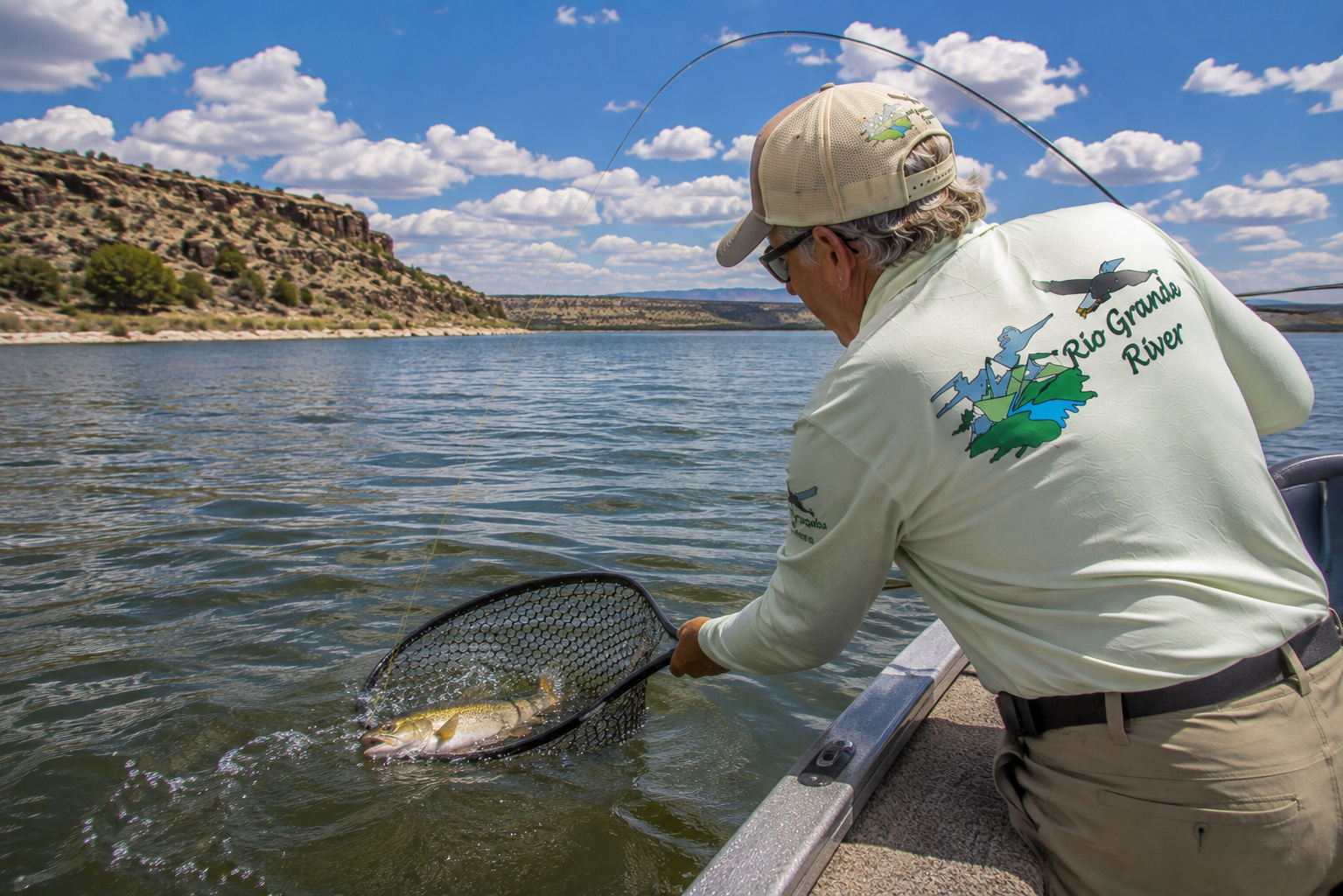
High in Colorado, we stood beside a cold river small enough to cast across with a fly rod.
We followed it through mountain meadows and trout country.
Through the San Luis Valley.
Past Taos.
Through New Mexico.
Past Albuquerque.
Into the reservoirs of southern New Mexico.
Through El Paso.
Into Big Bend.
Past Langtry.
And now here we are standing beside Lake Amistad.
A bass boat has replaced the fly rod.
A 7-foot baitcasting rod has replaced the 5-weight.
Instead of watching for caddis, I am watching the depth finder.
Instead of brown trout beneath a riffle, I am looking for largemouth bass along a 20-foot ledge.
Yet it is still part of the same river.
One More Morning on the Rio Grande River
If I were going to choose one scene to finish this chapter, I think I would choose an October sunrise.
Paulette and I are already on the water.
We left the ramp before daylight.
The Skeeter is idling through the no-wake area while the eastern horizon begins turning orange.
There is just enough wind to wrinkle the surface.
The limestone cliffs are still dark.
I have a topwater rod lying on the deck.
Another rod has a green-pumpkin plastic rigged and ready.
A deep-diving crankbait is tied to a third.
Old tournament habits die hard.
We reach a rocky point where a creek channel swings close to shore.
I shut down the Yamaha.
The trolling motor goes over.
Everything becomes quiet.
Then I hear it.
Shad.
Something has pushed them against the point.
I pick up the topwater rod and make a long cast.
Walk it twice.
Pause.
Walk it again.
The water explodes.
For a fraction of a second, fifty years disappear.
I'm not an octogenarian.
I'm a bass fisherman.
The rod loads.
The fish surges toward deep water.
Paulette is watching from behind me.
I work the bass toward the boat.
A heavy green shape rolls beneath the surface.
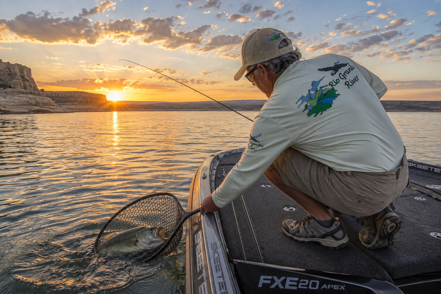
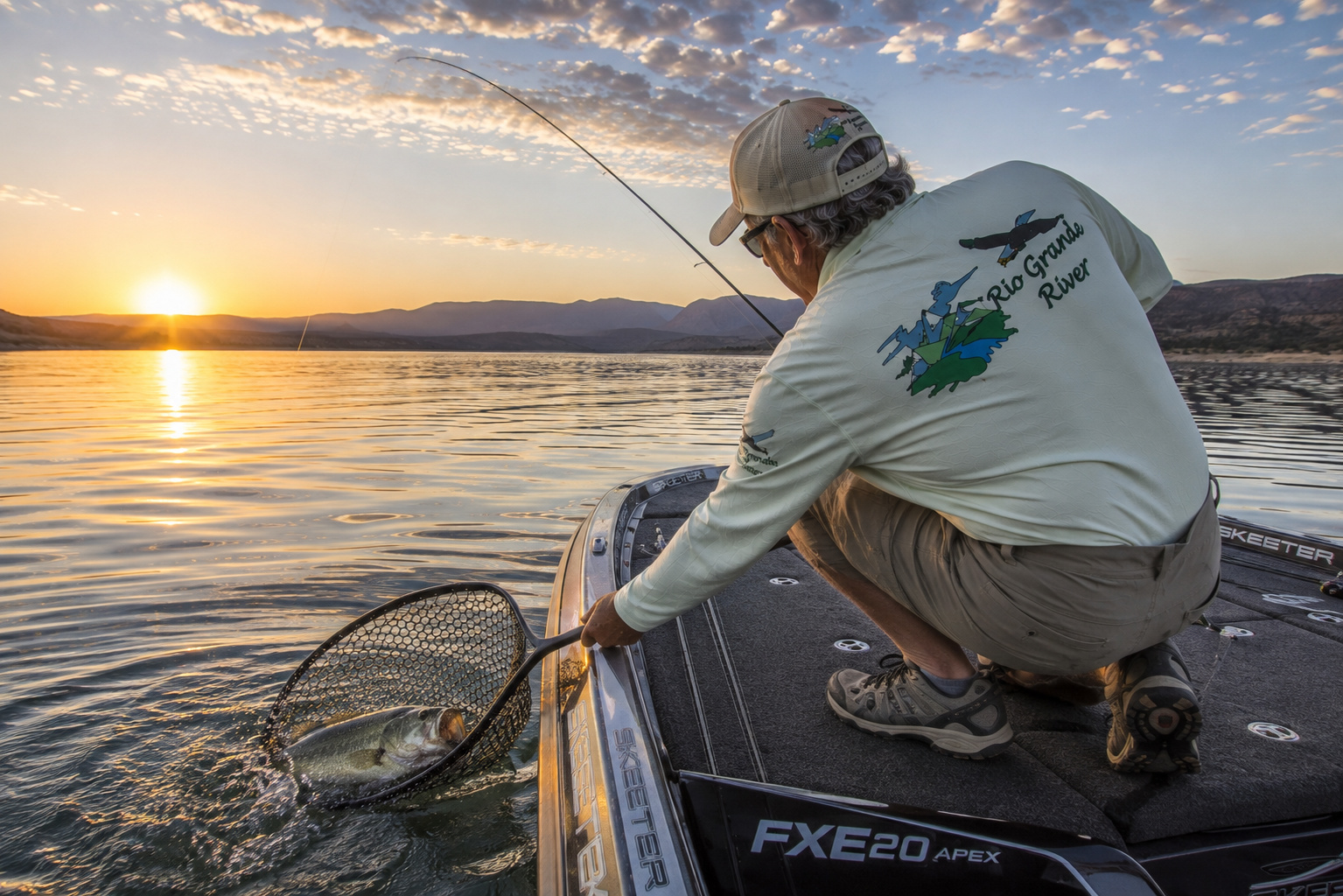
Into the rubber net she goes.
I kneel and look down at her.
Big head.
Broad shoulders.
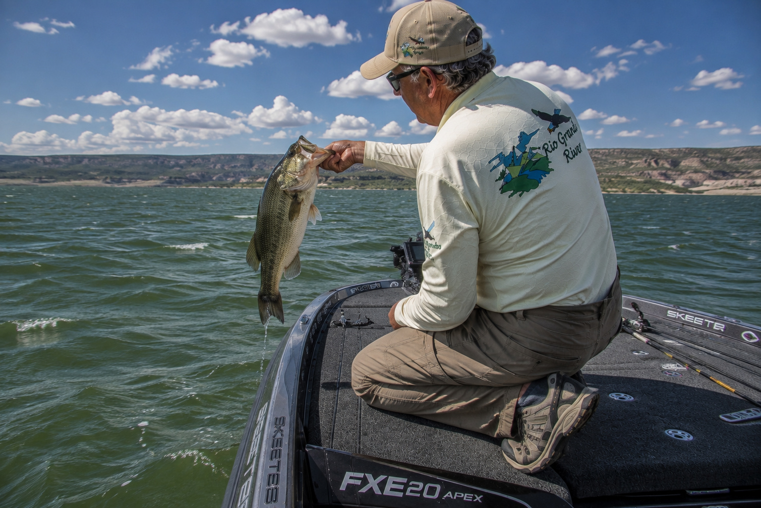
Beautiful Texas largemouth.
I wet my hands before touching her.
The camera comes out.
One photograph.
Maybe two.
Then I lower her back into the clear Amistad water.
For a moment she hangs beside the boat.
Then that great tail moves once.
And she's gone.
I watch the place where she disappeared.
Across the lake, sunlight has reached the cliffs.
The Rio Grande lies beneath us.
The Pecos is somewhere behind us.
The Devils River waits around another bend.
And downstream, beyond Amistad Dam, the Rio Grande has hundreds of miles yet to travel.
I've been fortunate enough to spend a good portion of my life around water.
Kansas farm ponds.
Lake Conroe.
Sam Rayburn.
Toledo Bend.
Texoma.
Amistad.
Mountain streams in New Mexico and Colorado.
The Pacific.
The Gulf.
Even the Amazon.
Yet rivers have a way of tying all those experiences together.
They remind us that no place exists entirely by itself.
The trout stream becomes a river.
The river meets another river.
Three rivers become a lake.
The lake releases a river again.
And the journey continues.
From here the Rio Grande River turns downstream toward another great South Texas reservoir.
Falcon Lake.
But we'll save that stretch for another day.
This morning belongs to Amistad.
And there are still bass to catch.
0 Comments