
Rio Grande River Taos to Santa Fe New Mexico: Through the Gorge and Into the Ancient Pueblo Country
There are stretches of the Rio Grande River where I find myself watching the water.
And then there are stretches where I find myself watching everything.
The cliffs.
The cottonwoods.
The mountains.
A bald eagle circling over the canyon.
A bighorn sheep standing on a ledge that looks entirely unsuitable for anything without wings.
An old adobe wall catching the last sunlight of the day.
The Rio Grande River from Taos toward Santa Fe, New Mexico, is that kind of country.
This is no longer the young mountain river Paulette and I followed through Colorado. By the time the Rio Grande reaches Taos, it has gathered water from hundreds of miles of mountain country. It has crossed the San Luis Valley, entered New Mexico and carved itself deeply into the volcanic rock of the Taos Plateau.
South of Taos, it begins another transformation.
The Rio Grande Gorge gradually opens. The river tumbles through whitewater at Pilar, passes the old communities of Embudo and Dixon, enters the broader Española Valley and flows through a cultural landscape where Pueblo people have lived beside this water for centuries beyond counting.
Santa Fe waits to the southeast beneath the Sangre de Cristo Mountains.
The Rio Grande itself does not flow through Santa Fe, an important distinction that sometimes gets blurred on travel websites. The main river passes west and northwest of the city. But Santa Fe belongs to the Rio Grande watershed, and its history is inseparable from the great river valley nearby.
Paulette and I know this country well.
After seventeen wonderful years in the log home we built high above the Moreno Valley at Angel Fire, we moved to Santa Fe in 2017. Our years in northern New Mexico have given me plenty of opportunities to wander these mountains, valleys, rivers and high-desert mesas with fishing rods, cameras and, increasingly, the understanding that I don't have to hurry anymore.
That last part may be one of the advantages of getting old.
So for this chapter of our journey, I want to follow the Rio Grande River from Taos toward Santa Fe slowly.
There is too much here to rush.
Leaving Taos and Returning to the Rio Grande Gorge
Taos sits east of the Rio Grande, tucked against the western slopes of the Sangre de Cristo Mountains.
The river itself lies west of town, deep inside the Rio Grande Gorge.
That geography creates one of the peculiar experiences of traveling northern New Mexico. You can drive across open sagebrush country with no visible sign of a major river, then suddenly reach the gorge and discover that the earth has opened beneath your feet.
Hundreds of feet below is the Rio Grande.
From above it can look harmless.
Get down beside it and your opinion changes.
This is living water, sometimes quiet and green, sometimes brown with monsoon runoff, sometimes roaring with snowmelt.
The gorge is part of the Rio Grande Rift, the enormous geological zone where the Earth's crust has stretched and faulted over millions of years. Volcanic activity added thick basalt flows across the Taos Plateau, and the river exploited weaknesses in that landscape, cutting ever deeper.
Geology gave the Rio Grande a path.
Water did the excavation.
Rio Pueblo de Taos Joins the River
One of the important tributaries in this country is the Rio Pueblo de Taos.
It begins in the Sangre de Cristo Mountains, flows through the Taos country and eventually enters the Rio Grande in the gorge.
I have photographed and written about this confluence in my earlier article, Rio Grande River at Rio Pueblo de Taos.
I happened to be there during the 2022 monsoon season, when runoff had turned the Rio Grande from its more familiar clear-to-emerald appearance into muddy brown water. That was a fine visual lesson in how quickly desert and mountain rivers can change. (Rio Grande River)
A tributary brings much more than additional water.
It carries sediment, nutrients and aquatic insects. It can alter water temperature. It creates current seams. It may provide spawning and refuge habitat for fish.
To a trout fisherman, a confluence is worth studying.
There is usually something happening there.
Taos Junction and Orilla Verde
South of Taos, the canyon begins opening into the beautiful Orilla Verde Recreation Area.
The BLM manages this section within the Río Grande del Norte National Monument.
Orilla Verde sits down along the river at roughly 6,100 feet while canyon walls rise dramatically above it.
This is one of the most accessible places to experience the Rio Grande Gorge from river level.
The BLM currently lists seven campgrounds, boat launches, picnic areas, trails and other facilities within Orilla Verde. The recreation area remains open year-round, although winter conditions can be severe and some facilities operate seasonally. (Bureau of Land Management)
For a closer look at the area, my Rio Grande Gorge at Taos Junction article explores the river, camping and recreation opportunities here. (Rio Grande River)
This is a wonderful place to slow down.
Bring binoculars.
Bring a camera.
Bring a fishing rod.
And bring enough time that none of those objects has to compete with the others.
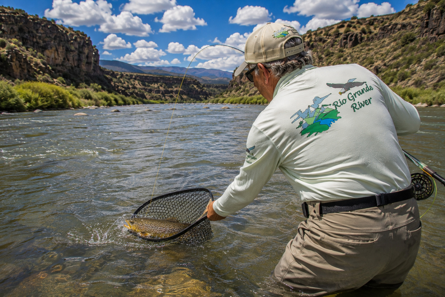
Trout Fishing the Rio Grande River
The Rio Grande through the Taos and Pilar country supports a mixed cold-water fishery, particularly brown trout and rainbow trout. Native Rio Grande cutthroat trout remain an important conservation species within suitable waters of the broader northern New Mexico watershed.
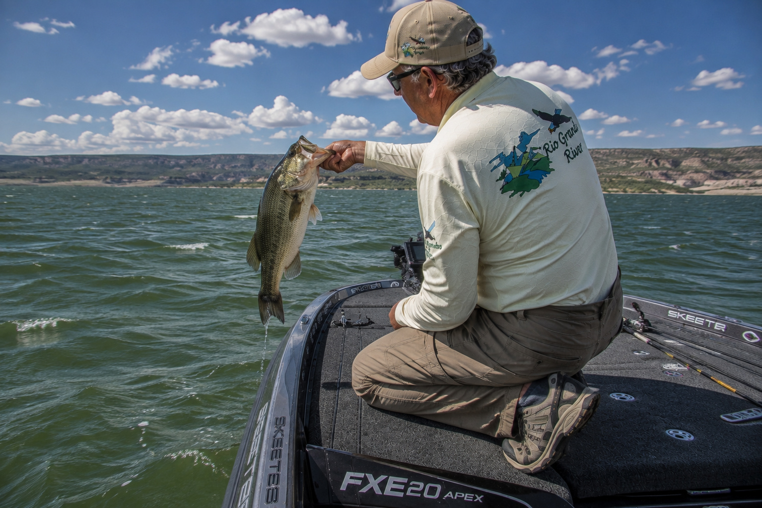
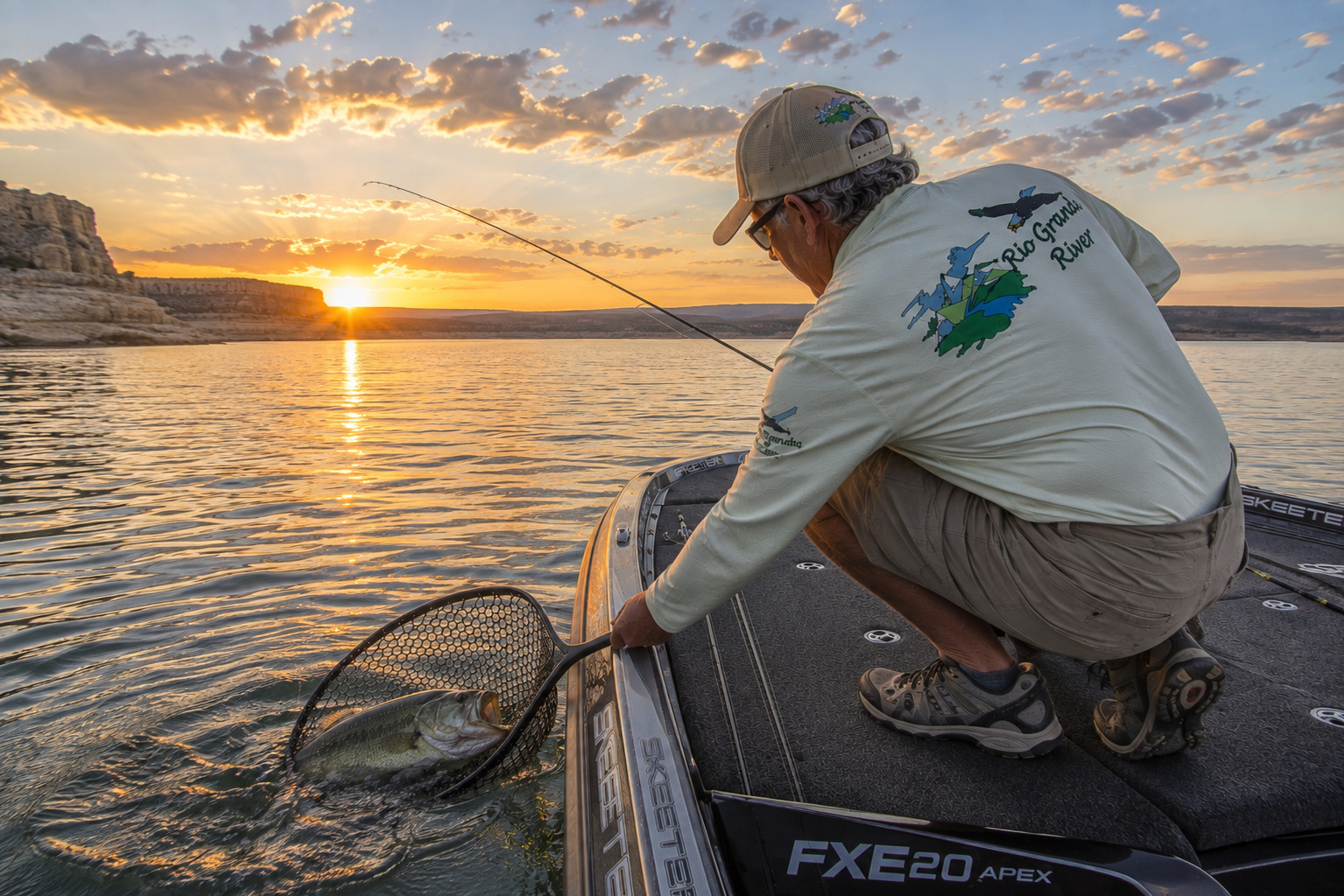
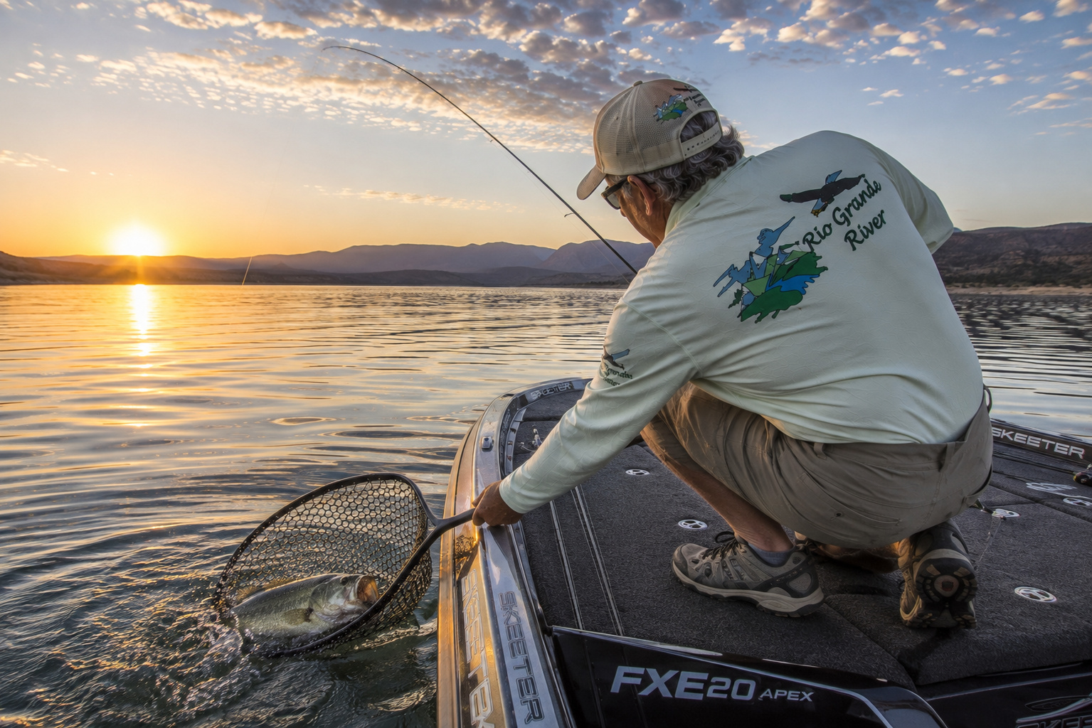
As the river continues downstream and becomes warmer, the fish community gradually changes. Smallmouth bass, northern pike and warm-water species become increasingly relevant in portions of the system.
That transition is one of the fascinating things about following the Rio Grande downstream.
A river doesn't wake up one morning and decide it is no longer a trout stream.
The change happens gradually.
Elevation decreases.
Water warms.
Habitat changes.
Tributaries enter.
The fish community responds.
Current New Mexico Trout Regulations
New Mexico's current regulations designate the Rio Grande as Special Trout Water, but regulations can differ by particular section. New Mexico uses Red Chile, Green Chile and Xmas Chile classifications for Special Trout Waters.
Many Special Trout Waters require artificial flies or lures with a single barbless hook. Red Chile Water is catch-and-release with tackle restrictions, while Green Chile Water has a two-trout daily bag with tackle restrictions. Xmas Chile Water has a two-trout daily bag and permits legal tackle under that designation. (NMDOW)
Because regulations can change and differ by section, I always recommend checking the current New Mexico Department of Wildlife fishing regulations before fishing.
A regulation remembered from five years ago is a fishing story, not a legal reference.
Reading Rio Grande Trout Water
This river rewards an angler who learns to read current.
I look for the places where a trout can feed without fighting the full strength of the river.
A boulder creates a pocket of softer water behind it.
Fish it.
Fast water meets slow water along a seam.
Fish it.
A riffle empties into a deeper run.
Fish the transition.
A cottonwood root system reaches beneath an undercut bank.
Approach carefully.
A brown trout may own the lease.
Deep bends are especially interesting because current scours the outside bank.
Trout like depth, overhead protection and nearby food.
Give them all three and somebody is probably home.
My Spinning Rod Choice
Where regulations allow spinning tackle, I like a 6½- to 7-foot light-action spinning rod.
Pair it with a 1000- to 2500-size reel with a good drag.
The Rio Grande is not a place where I want to overpower trout with heavy equipment.
A light rod makes small lures easier to cast and turns an ordinary trout into a much more interesting conversation.
For larger water and heavier lures, medium-light tackle can be useful.
Spinning Line
My basic choices remain simple:
4- to 6-pound monofilament for general trout fishing.
4- to 6-pound fluorocarbon when visibility or abrasion resistance is important.
Thin braided line with a fluorocarbon leader also works beautifully.
Clear, low water favors lighter leaders.
Higher or stained water allows something heavier.
Spinning Baits
Where natural bait is legal, worms and other permitted trout baits remain effective.
But I want to emphasize the words where legal.
Special Trout Water restrictions may prohibit bait.
Do not assume that because you caught trout on worms somewhere upstream, you can use them here.
Read the signs.
Check the regulations.
Spinning Lures
My Rio Grande box would include:
-
1/16- to 1/4-ounce inline spinners
-
Small spoons
-
1/32- to 1/8-ounce jigs
-
Small minnow plugs
-
Trout-sized soft plastics
Silver is an old standby.
Gold can be excellent in slightly stained water.
Black creates a strong silhouette.
Olive, brown and natural baitfish colors are good choices when the river is clear.
I generally cast slightly upstream or across the current and let the river do part of the work.
The current is already going somewhere.
There is no sense arguing with it.
Fly Rods for the Rio Grande
If I could carry only one fly rod through this stretch, it would be a 9-foot 5-weight.
It handles dry flies, nymph rigs and moderate streamers.
A 4-weight is delightful during low water and dry-fly fishing.
A 6-weight provides additional muscle for larger streamers, heavier nymph rigs and windy canyon conditions.
And wind deserves respect here.
Canyon wind can take a perfectly respectable cast and redesign it without consultation.
Fly Reels and Fly Line
A good reel needs a smooth drag and enough capacity for the line and backing.
It does not need to cost more than my first automobile.
For most Rio Grande fishing, I prefer a weight-forward floating line.
Leaders in the 7½- to 12-foot range cover most situations.
For nymphing, fluorocarbon tippet is useful.
For dries, nylon leaders remain excellent.
Most everyday trout fishing can be handled with 3X through 6X tippet, adjusted for fly size, water clarity and the fish.
Dry Flies
A practical Rio Grande dry-fly box should contain proven patterns rather than enough feathers to upholster a chicken.
I would carry:
Elk Hair Caddis
Parachute Adams
Blue-Winged Olives
Pale Morning Duns
Stimulators
Stonefly patterns
Hoppers
Ants
Beetles
Spring and early summer can produce excellent aquatic insect activity.
Later in summer, terrestrial insects become increasingly important.
There are few things in fishing more satisfying than watching a trout rise deliberately to a dry fly.
The water bulges.
The mouth appears.
And suddenly every other problem in the world has been temporarily canceled.
Nymphs
Of course, trout spend most of their feeding time below the surface.
That makes nymphs indispensable.
My basic selection includes:
Pheasant Tail
Gold-Ribbed Hare's Ear
Prince Nymph
Copper John
Zebra Midge
Stonefly nymphs
Caddis larvae and pupae
Perdigon-style nymphs
Getting the fly into the feeding lane is often more important than having the exact pattern.
Depth matters.
Drag matters.
Presentation matters.
Trout have never read the catalog description.
Streamers for Brown Trout
Larger brown trout are predators.
I like Woolly Buggers, leech patterns, sculpins and small baitfish streamers.
Work them along deeper banks, behind boulders and through darker runs.
Early morning is good.
Evening is good.
Cloudy weather can be excellent.
A little color in the water can give a large brown enough confidence to move.
Productive Water Temperatures
For trout, I consider roughly 45°F through the upper 50s prime territory.
Fishing can remain productive into the low 60s, but as water warms, I pay increasing attention to stress.
Once the river approaches 68°F, I stop catch-and-release trout fishing.
Warm water contains less dissolved oxygen.
A fish exhausted in warm water may swim away and die later.
A small stream thermometer belongs in every serious trout angler's gear.
When the water becomes too warm, I put away the trout rod.
There are plenty of photographs to take.
Best Time of Day to Fish
During summer, early morning is my favorite.
The river has cooled overnight.
Trout are less stressed.
Wind may be lighter.
Recreational traffic is lower.
Evenings can also be productive.
During cooler spring and autumn weather, midday fishing can improve as sunlight warms the water and insect activity increases.
Rather than relying entirely on the clock, watch the river.
If swallows begin feeding low over the water, insects are moving.
If trout begin rising, they have just handed you a report.
Barbless Hooks
I strongly favor barbless hooks for trout I intend to release, even where regulations don't require them.
A barbless hook usually comes free quickly.
That reduces handling time.
It reduces injury.
And if I manage to hook myself, a skill fishermen occasionally demonstrate with surprising enthusiasm, I appreciate that flattened barb personally.
Wet Hands, Always
Before touching a trout, wet your hands.
A trout's slime coating helps protect it against infection.
Dry hands can remove that protective layer.
Never lay a trout on dry grass, gravel or a hot rock for a photograph.
The fish does not need to suffer for our picture.
Keep the Trout Fully Submerged
My favorite release photograph is usually the one where the fish hardly leaves the water.
Land the trout in a rubber net.
Keep the net submerged.
Remove the hook while the trout remains fully submerged whenever possible.
If I want a photograph, everything should be ready first.
Camera ready.
Angler ready.
Lift.
Click.
Back into the river.
Seconds rather than minutes.
Rubber Nets and Reviving Trout
A rubber landing net is easier on fins and protective slime than old abrasive knotted mesh.
Once the hook is removed, support the trout gently upright in clean current.
Face it into the flow.
Let oxygenated water pass naturally through its gills.
Do not squeeze the fish.
Do not drag it backward through the water.
When the trout maintains its balance and begins pushing against your hand, loosen your grip.
Let the fish decide when to leave.
That final kick of the tail is one of the nicest parts of fishing.
Whitewater Rafting Through the Lower Gorge
Fishing is only one way to meet this river.
The Rio Grande Gorge is one of New Mexico's premier whitewater destinations.
The BLM classifies the Orilla Verde section around Class II, making it suitable for comparatively gentle rafting, canoeing and kayaking under appropriate flows. The famous Racecourse, downstream toward Pilar, is a roughly five-mile section of more energetic whitewater. BLM river descriptions rate it Class III-IV, depending on conditions. (Bureau of Land Management)
The BLM emphasizes that Rio Grande flow is unpredictable and advises boaters to check current flow before launching. (Bureau of Land Management)
My earlier Rio Grande Gorge whitewater rafting at Orilla Verde article gives a closer look at the calmer upper portion of this journey. (Rio Grande River)
Pilar and the Racecourse
Then we reach Pilar.
Pilar sits right along the river where NM 68 and the gorge country meet.
For rafters, fishermen and photographers, it is a natural stopping point.
I have written separately about the Rio Grande River Gorge at Pilar New Mexico, including a visit during heavy monsoon runoff when the normally greener river had turned chocolate brown. (Rio Grande River)
The Racecourse below Pilar provides the kind of whitewater that can turn an otherwise quiet family vacation into a collection of very loud photographs.
Commercial outfitters run this section when flows permit.
For visitors without substantial whitewater experience, going with a reputable professional outfitter makes far more sense than discovering hydraulics through personal experimentation.
Wear a proper PFD.
Cold water remains cold even under a New Mexico sun.
From Pilar to Embudo
Below Pilar, the Rio Grande continues south through rugged country toward Embudo.
The canyon gradually changes.
The river corridor begins showing more cottonwoods and agricultural influence.
Old communities sit along tributaries and river terraces.
NM 68 provides one of the most scenic drives in northern New Mexico, frequently paralleling or overlooking the river as it works toward Española.
This is one of my favorite stretches for simply driving slowly and watching the landscape change.
High desert and river bottom exist side by side.
Irrigated fields appear startlingly green against brown hills.
Cottonwoods trace water across the valley.
In autumn, those cottonwoods turn gold.
There are afternoons when northern New Mexico seems to have cornered the market on sunlight.
The Rio Embudo and Other Tributaries
Near Dixon and Embudo, the Rio Embudo joins the Rio Grande.
It drains mountain country to the east and is itself fed by smaller streams coming out of the Sangre de Cristo Mountains.
Continue south and additional tributaries become increasingly important.
The Rio Chama, although entering the Rio Grande north of Española rather than along the Taos Gorge itself, is one of the great tributaries of the entire upper-middle Rio Grande system.
It carries water from northern New Mexico and Colorado, including transbasin San Juan-Chama Project water.
Upstream, Abiquiu Lake stores Rio Chama water before the Chama continues toward the Rio Grande. My Cerrito Recreation Area at Abiquiu Lake article explores that reservoir and its connection to the Rio Chama-Rio Grande basin. (Rio Grande River)
This distinction is useful: Abiquiu Lake is not on the Rio Grande itself. It is on the Rio Chama, which feeds the Rio Grande.
Lakes Fed by the Rio Grande
There is no large main-stem reservoir between Taos and the Santa Fe latitude.
This portion of the Rio Grande remains largely a flowing river.
Nearby reservoirs belong to tributary systems.
Abiquiu Lake is on the Rio Chama.
Santa Cruz Lake lies within the Santa Cruz watershed.
Nambe Falls Reservoir is associated with the Rio Nambe-Pojoaque drainage.
Farther downstream, the first major main-stem Rio Grande reservoir is Cochiti Lake, south of the stretch covered in this article.
That lack of a major impoundment helps preserve the flowing-river character between Taos and the Pueblo country north of Santa Fe.
The Rio Chama Joins the Rio Grande
Near Ohkay Owingeh, north of Española, the Rio Chama enters the Rio Grande.
This is a major confluence.
The Rio Chama drains an enormous landscape to the northwest, including high mountain country, sandstone canyons and reservoir systems.
It is also a magnificent recreational river in its own right.
My Rio Chama whitewater rafting and kayaking article follows that tributary through some wonderfully remote country before its waters eventually become part of the Rio Grande. (Rio Grande River)
At the confluence, the Rio Grande gains another major branch of its family tree.
Ancient People and the Northern Rio Grande
This portion of our journey cannot be understood without the Pueblo people.
Long before Europeans entered New Mexico, Pueblo communities occupied the Rio Grande Valley and its tributaries.
The National Park Service notes that Tewa-speaking communities were established along the northern Rio Grande by at least the early 1200s, relying upon irrigation agriculture as well as hunting. Existing Tewa Pueblos in this region include Ohkay Owingeh, Santa Clara, San Ildefonso, Pojoaque, Nambe and Tesuque. (National Park Service)
Taos Pueblo itself developed into a major trade center, connecting Pueblo communities along the Rio Grande with peoples of the Plains and other regions. Archaeological evidence places an earlier Taos Pueblo site around the 14th century, with relocation to the present site around 1400. (National Park Service)
My broader article about the Rio Grande Pueblos explores these relationships in greater depth. (Rio Grande River)
To call the Rio Grande merely a river through this country misses most of the story.
It was water.
Food.
Agriculture.
Travel.
Community.
Trade.
Spiritual landscape.
Life.
Española and the Great Cultural Crossroads
By the time the Rio Grande reaches the Española Valley, we have entered one of the oldest continuously inhabited cultural landscapes in the United States.
The river runs between Pueblo communities whose history predates Spanish colonization by centuries.
Then came the Spanish.
Juan de Oñate's colonizing expedition reached the northern Rio Grande in 1598 and established its first New Mexico capital in the Ohkay Owingeh area. The settlement later moved nearby to San Gabriel before the colonial capital was transferred to Santa Fe in 1610. (National Park Service)
That history was not peaceful or simple. Colonization brought dispossession, religious pressure and conflict, culminating famously in the Pueblo Revolt of 1680.
A river that looks quiet today has witnessed an enormous amount of human history.
Santa Fe and the Rio Grande
Eventually our journey reaches the latitude of Santa Fe.
But the Rio Grande does not enter the city.
Santa Fe sits east of the main river beneath the Sangre de Cristo Mountains.
Water from the Santa Fe area drains generally west toward the Rio Grande through several systems. The Santa Fe River heads in the Sangre de Cristo Mountains, while Tesuque and Little Tesuque creeks combine into the Rio Tesuque, which joins the Pojoaque River before that system reaches the Rio Grande above White Rock Canyon. (USGS Publications)
This geography explains something important about Santa Fe.
The city may not sit directly on the Rio Grande, but it belongs to the river's watershed.
Eventually, water leaving these mountains is headed toward the same great channel.
Santa Fe: City at the Foot of the Mountains
Paulette and I moved to Santa Fe in 2017 after our seventeen years in Angel Fire.
I have come to appreciate the city's peculiar combination of mountain town, desert town, historic capital and artistic community.
Santa Fe sits around 7,000 feet above sea level.
To the east, the Sangre de Cristo Mountains climb rapidly toward elevations above 12,000 feet.
To the west, the country drops toward the Rio Grande Valley and the Jemez Mountains beyond.
On a clear day, the landscape seems almost unlimited.
For somebody who grew up watching weather move across the Kansas Flint Hills, I find that familiar.
Different country.
Same big sky.
El Camino Real and the River
The Rio Grande Valley later became the principal corridor for El Camino Real de Tierra Adentro, the great colonial road connecting central Mexico with New Mexico.
Spanish colonists formalized routes that incorporated much older Indigenous travel corridors. The trail followed the Rio Grande northward through New Mexico before reaching the northern settlements and eventually Santa Fe. (National Park Service)
Again, water dictated geography.
Roads could wander.
People could take shortcuts.
But settlements needed water.
The river determined where history could happen.
Wildlife Along the Taos-to-Santa Fe Rio Grande
This corridor supports an extraordinary mixture of mountain, canyon, riparian and high-desert wildlife.
BLM identifies bighorn sheep, elk, mule deer, coyotes, quail and bats in the Rio Grande Wild and Scenic River corridor. Orilla Verde also supports raptors, waterfowl, beaver, cougar, ringtail and numerous smaller species. (Bureau of Land Management)
Watch for:
Rocky Mountain bighorn sheep along gorge walls.
Mule deer near river bottoms.
Elk where the river corridor meets mountain country.
Beaver along quieter water.
Bald eagles during cooler months.
Golden eagles over canyon country.
Red-tailed hawks riding thermals.
Canada geese and ducks along broader reaches.
And occasionally the animal you weren't looking for at all.
Those are often the best photographs.
Camping Along the River
For camping directly beside this portion of the Rio Grande, Orilla Verde Recreation Area is difficult to beat.
The BLM currently lists seven campgrounds. Pilar and Río Bravo offer RV sites with water and electrical hookups, while facilities vary at the smaller campgrounds. Camping is first-come, first-served, and fees vary according to the type of site. (Bureau of Land Management)
Camp only in designated sites where required.
Store food properly.
Respect fire restrictions.
And remember that desert nights can become surprisingly cold.
A July afternoon may convince you that a sleeping bag is unnecessary.
Three o'clock in the morning can present a persuasive counterargument.
Recreational Activities Beyond Fishing
This section of the Rio Grande offers far more than fishing.
There is:
whitewater rafting,
kayaking,
canoeing on suitable sections,
hiking,
camping,
birding,
wildlife photography,
landscape photography,
picnicking,
stargazing,
scenic driving,
Pueblo cultural exploration where public visitation is permitted,
and simply sitting beside the river.
The BLM specifically manages the Rio Grande Wild and Scenic River corridor for fishing, hiking, wildlife viewing, water access, birding, rafting, kayaking, camping and photography. (Bureau of Land Management)
That last activity, sitting beside the river, remains badly underrepresented in recreation brochures.
I recommend it.
Water Levels and Seasonal Flow
Water level determines nearly everything on the Rio Grande.
Spring snowmelt generally brings higher flows.
The whitewater season strengthens.
Wading becomes more difficult.
The river may become colder and more turbid.
Summer usually brings declining flows, although upstream water management and monsoon storms can change conditions quickly.
A thunderstorm over a tributary miles away can muddy the Rio Grande while sunshine remains overhead.
Autumn often brings lower, clearer flows and wonderful fishing conditions.
Winter brings cold water, shorter days and the possibility of snow and ice.
BLM specifically warns that Rio Grande flows are unpredictable and recommends checking current USGS flow information before boating. (Bureau of Land Management)
The same advice serves fishermen.
The river you remember is not necessarily the river you will meet.
Weather Through the Seasons
Spring
Spring is transition season.
Snow remains in the mountains.
Runoff begins.
Cold mornings give way to warm afternoons.
Wind can be substantial.
Fishing may be excellent before peak runoff and challenging during high water.
Summer
Summer brings hot canyon afternoons, cool mornings and the North American monsoon.
Thunderstorms usually become more common in July and August.
Lightning is serious business.
So is flash flooding in side canyons and arroyos.
Autumn
If somebody gave me only one season, I would have difficulty arguing against autumn.
Cottonwoods turn gold.
The air cools.
Brown trout become more active.
Tourist traffic eases.
The sunlight seems to acquire a richness peculiar to northern New Mexico.
Winter
Winter can be beautiful and severe.
Snow reaches the gorge country.
Shaded canyon roads may become icy.
Fishing continues where conditions permit, but short days and cold water demand preparation.
Getting There
From Taos, U.S. 64 and NM 68 provide the main connections to the Rio Grande corridor.
For Orilla Verde and Taos Junction, NM 570 provides access into the recreation area.
Continuing south, NM 68 follows the Rio Grande corridor through Pilar and toward Embudo, Dixon and Española.
From Española, U.S. 84/285 leads southeast toward Santa Fe.
The drive from Taos to Santa Fe can be made in a couple of hours under ordinary conditions.
I recommend taking considerably longer.
Stop at Pilar.
Walk beside the river.
Look at the cliffs.
Stop near Embudo.
Watch the cottonwoods.
Spend time around the Española Valley.
Look west toward the Jemez.
Look east toward the Sangre de Cristo Mountains.
A road can be transportation.
Or it can be part of the trip.
A River Leaving the Gorge
What fascinates me most about this chapter of the Rio Grande River is the transition.
Near Taos, the river is imprisoned inside stone.
Basalt walls tower overhead.
Whitewater fills the canyon with noise.
Then the gorge gradually relaxes.
The valley widens.
Cottonwoods appear.
Irrigated fields begin spreading across terraces.
Ancient Pueblo communities occupy the river country.
Tributaries arrive from the mountains.
The Rio Chama joins from the northwest.
By Española, the river has left much of the wild gorge behind and entered a landscape where human beings and water have been negotiating with one another for thousands of years.
The Rio Grande has changed again.
An Evening Between Santa Fe and the River
I can picture the end of this journey easily because it is home country now.
Paulette and I have spent the afternoon west of Santa Fe.
The mountains behind us are catching the last sunlight.
The Sangre de Cristos turn pink and then purple.
Across the Rio Grande Valley, the Jemez Mountains settle into shadow.
A cottonwood beside the river glows gold.
Somewhere downstream a great blue heron lifts from the shallows.
I have a camera in my hand rather than a fishing rod.
That happens more often these days.
There was a time when I measured a day outdoors partly by what I caught.
Age changes the arithmetic.
Now I am more inclined to measure it by what I noticed.
A bighorn sheep on a cliff.
A trout rising behind a boulder.
An eagle above the gorge.
Cottonwood leaves moving in an evening breeze.
Paulette standing beside me while the last light reaches the mountains.
Those things don't fit neatly into a creel.
They last considerably longer.
I think back to the Kansas Flint Hills of my boyhood, where water determined whether a pasture prospered and where cattle gathered on hot afternoons.
I think about our years in Angel Fire, looking across the Moreno Valley toward Wheeler Peak and Eagle Nest Lake.
And now Santa Fe.
Different landscapes.
Different chapters.
But water runs through all of them.
Below us, the Rio Grande River keeps moving south.
It has no reason to stop because we have reached home.
Ahead lies White Rock Canyon.
Cochiti.
Albuquerque.
Bosque del Apache.
Elephant Butte.
Las Cruces.
El Paso.
Big Bend.
Hundreds upon hundreds of miles still wait downstream.
I watch the river until the light begins to disappear.
Then Paulette and I turn toward Santa Fe.
We'll follow it farther tomorrow.
At eighty-plus years old, I have learned there is no prize for reaching the end of a beautiful journey first.
The Rio Grande has been traveling south for a very long time.
I think we can afford to take our time.
0 Comments